Freely Available Geodata Sources
Print
Modified on: Thu, 1 Aug, 2024 at 2:10 PM
1. Terrain Raster Data
Source: https://search.earthdata.nasa.gov/search/ (log in is required to download data)
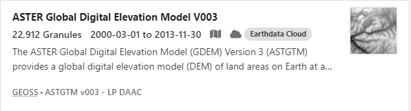
Use Search line and enter ASTER Global Digital Elevation: 
Select:
Draw the area to download the data:

2. Clutter classes
https://livingatlas.arcgis.com/landcoverexplorer/?hsamp_network=linkedin&hsamp=bMJ1LdVdwXGW&adumkts=social&utm_source=social&aduc=social&adum=external&adusf=linkedin&sf_id=7015x000000aYlKAAU&aduca=mi_employee_advocacy_hootsuite_amplify_soc_ex&adut=e621d967-b85a-4721-aa1e-d37a8f477f1b#mapCenter=-71.99100%2C42.79500%2C4&mode=step&timeExtent=2017%2C2022&year=2022
Click on Download GeoTIFF

Click on the required squares and download the data.

Did you find it helpful?
Yes
No
Send feedback Sorry we couldn't be helpful. Help us improve this article with your feedback.